The Peanut Line in the Erie County Atlas

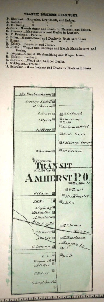
1880 Erie County Atlas showing Transit Business Directory where the N.Y.C.R.R. “peanut line” crossed from Amherst into Clarence at the Transit Depot.

Images provided by David Wolgast

The line ran through my GG Grandfather Christian Wehrung’s land at the northeast corner of Sweet Home Road.

My Grandmother said that as kids they would walk along the tracks looking for places where coal had shaken loose from the rail cars.

David Wolgast
Page from the 1880 Erie County Atlas listing business along Transit Road in Amherst where the New York Central Railroad crosses.
Transit Business Directory from the 1880 Erie County Atlas.
Map from the 1880 Erie County Atlas showing the Town of Amherst with the Batavia Branch of the New York Central Railroad crossing through Getzville.

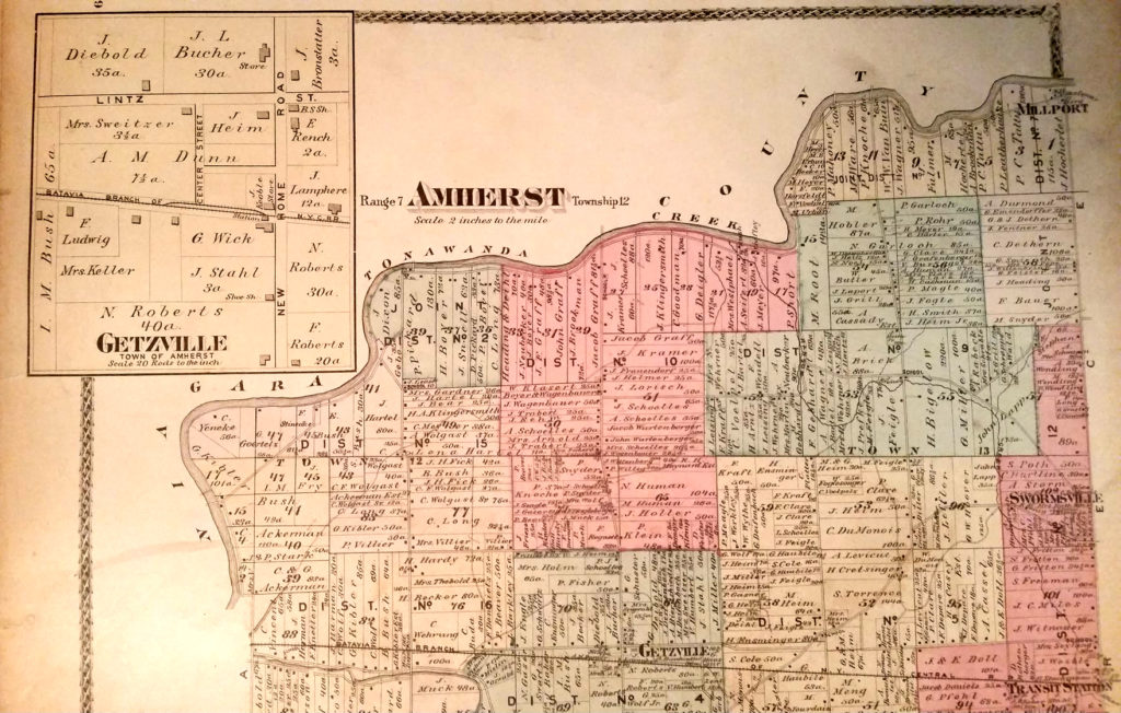
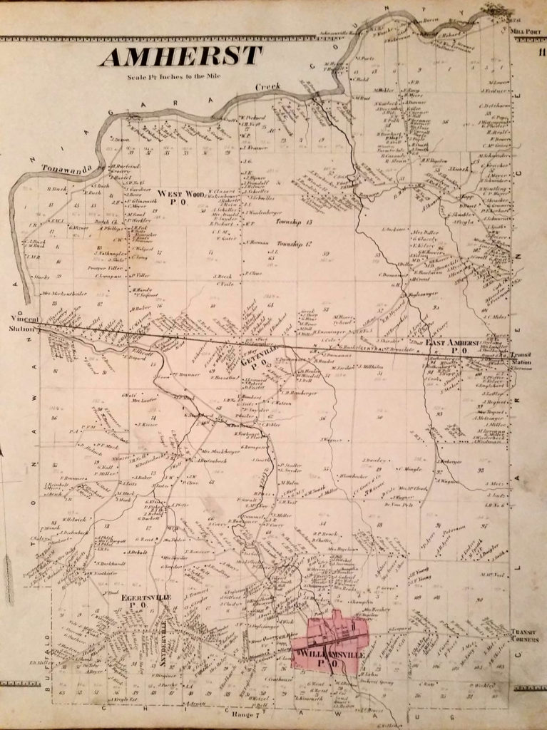
Amherst (Getzville) map from the 1880 Erie County Atlas.

Map of Amherst from the 1866 Erie County Atlas, showing the New York Central Railroad "Peanut Line" running from Vincent Station to Transit Station.
Map of Amherst from the 1866 Erie County Atlas, showing the New York Central Railroad “Peanut Line” running from Vincent Station to Transit Station.

Leave a Comment

Your email address will not be published. Required fields are marked *