I love the history of the Peanut Line. I’d hope some historic markers would be installed.
Marilyn Cote-Miller, Tonawanda Resident
Our Advocacy
We supporters of the Amherst Peanut Line Trail are private residents and businesses advocating for the completion of the remaining section of the Canandaigua-Niagara Falls railbed into an improved multi-use trail, accessible to people of all abilities.
An improved trail will increase property values; increase patronage of restaurants and other businesses near the trail; increase the likelihood of exercise, improving mental and physical health; and provide for inclusive, safe and environmentally friendly commuting to schools, recreational events, work and places of worship.
The Canandaigua-Niagara Falls Railroad
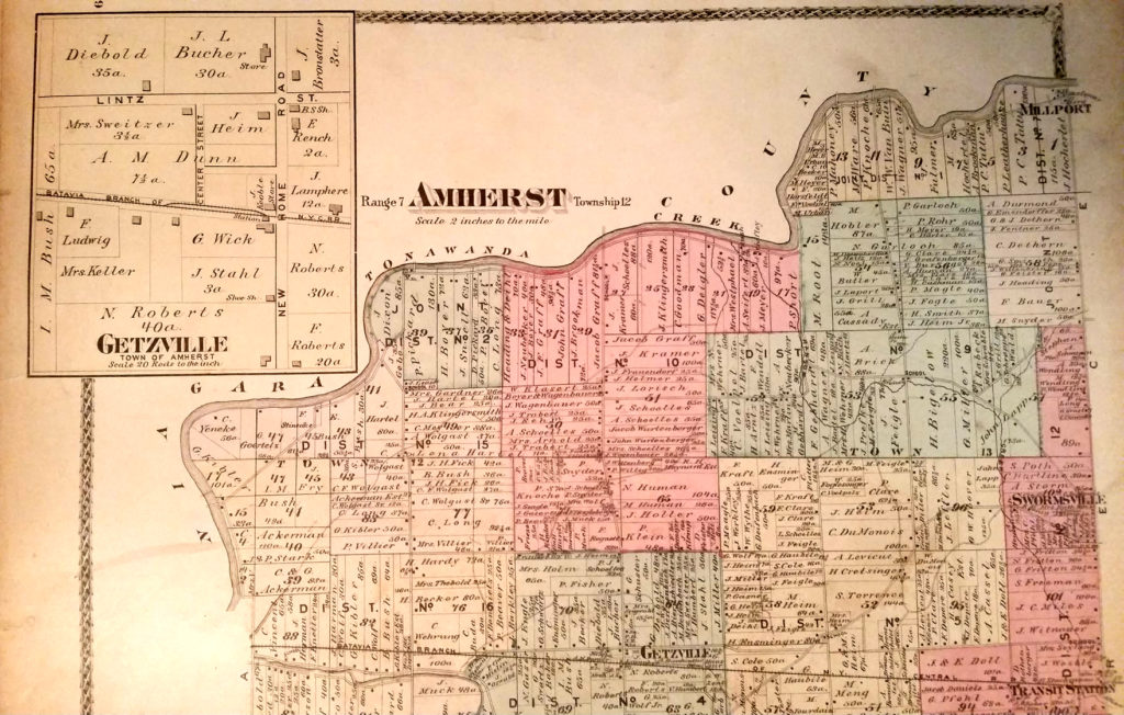
Established in 1853 as the Canandaigua-Niagara Falls Railroad, the line was acquired by the New York Central Railroad in 1858. Batavian Dean Richmond, president of New York Central, when asked about the Batavia branch, replied that it was “only a peanut of a line” and the name stuck. Service was discontinued in 1939.
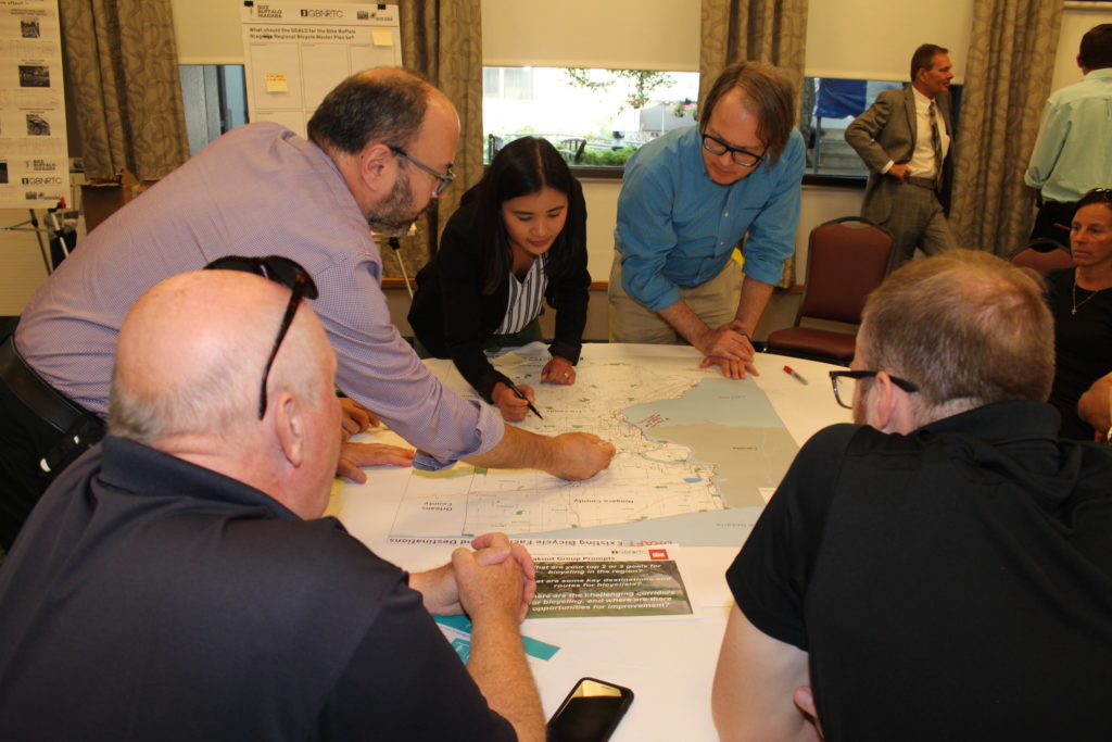
History of the Trail Improvement Project
A 2018 survey issued by the Amherst Planning Board determined that 80% of respondents place recreational greenspaces as a top priority.
Improvement of the Amherst section will complete the Peanut Line path connecting Akron and Clarence to the east with the Tonawandas to the west. Trails east of the Peanut Line connect with the Canalway Trail heading across the state, and west to points northward to Niagara Falls and southward to Buffalo.
In 2021 the Greater Buffalo Niagara Regional Transportation Council in its Regional Bike Buffalo Niagara Master Plan ranks completion of the Amherst Section of the Peanut Line among its top 15 priorities.
Inter-Regional Connectivity
The 7.5 mile Peanut Line improvement from Transit Road in Clarence east to Newstead has been completed and is enjoyed by residents and visitors. From the Town of Clarence:
Along this path is access to two of our Town Parks – Meadowlakes Park and Memorial Park. Along the trail are benches and mile markers. The West Shore Trail runs from Wehrle Drive to Newstead Town Line. This is approximately 4 miles. This path runs through the Clarence Main Street Town Park and also a Town Municipal Parking area and the Clarence Farmers Market (in the summer months). Benches are also along this trail for resting. Off of the Peanut Line trail is another path that runs from Heise Road till approximately Roll Road, through the Waterford Subdivision. Both the Peanut Line and West Shore trails, not only run through some of the Town of Clarence Hamilets, but also connects to the Town of Newstead Trails, allowing you to travel into the Village of Akron).
In 2018, the Niagara Falls City Council unanimously approved measures to fund and construct a Greenway trail connecting with popular Tonawandas and Buffalo.